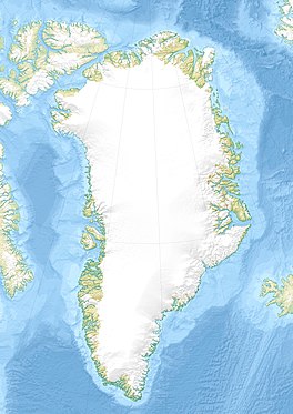
Rink Glacier (Melville Bay)
Appearance
| Rink Glacier | |
|---|---|
| Rink Gletscher | |
| Type | Tidewater glacier |
| Location | NW Greenland |
| Coordinates | 76°12′N 61°9′W / 76.200°N 61.150°W |
| Width | 6 km (3.7 mi) |
| Terminus | Melville Bay |
| Status | Retreating[1] |
Rink Glacier (Danish: Rink Gletscher), is a glacier in NW Greenland.[2] Administratively it belongs to the Avannaata municipality.
This glacier was named after Danish geologist and explorer of Greenland Hinrich Johannes Rink (1819 - 1893).
Geography
The Rink Glacier is located in the Lauge Koch Coast, Melville Bay.[3] It originates in the western Greenland ice sheet and flows southwestwards between the Døcker Smith Glacier to the west and the Peary Glacier to the east.[2] Its terminus lies ENE of Cape Murdoch, northeast of the Fisher Islands and north of the Balgoni Islands in Melville Bay.[4]
 |
See also
References
- ^ Warming, glacier melt and surface energy budget
- ^ a b "Rink Gletscher". Mapcarta. Retrieved 20 June 2019.
- ^ Geological Survey of Denmark and Greenland Bulletin 20 - GEUS
- ^ GoogleEarth

