
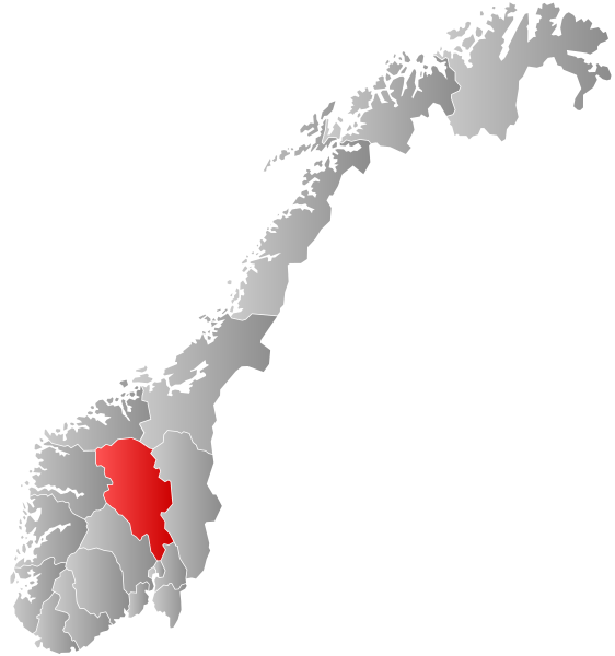
File:Norway Counties Oppland Position.svg

Size of this PNG preview of this SVG file: 562 × 600 pixels. Other resolutions: 225 × 240 pixels | 450 × 480 pixels | 719 × 768 pixels | 959 × 1,024 pixels | 1,918 × 2,048 pixels | 740 × 790 pixels.
Original file (SVG file, nominally 740 × 790 pixels, file size: 67 KB)
| This is a file from the Wikimedia Commons. Information from its description page there is shown below. Commons is a freely licensed media file repository. You can help. |
File history
Click on a date/time to view the file as it appeared at that time.
| Date/Time | Thumbnail | Dimensions | User | Comment | |
|---|---|---|---|---|---|
| current | 08:25, 27 January 2019 | | 740 × 790 (67 KB) | Bjarkan | Border update (Rindal). |
| 03:14, 17 December 2017 |  | 740 × 790 (67 KB) | Bjarkan | Improved version. | |
| 11:46, 24 January 2016 |  | 740 × 790 (81 KB) | Fleinn | Reverted to version as of 12:48, 16 August 2010 (UTC) | |
| 01:58, 19 January 2016 |  | 512 × 512 (82 KB) | Kingsocarso | Why the gradients? they look stupid | |
| 12:48, 16 August 2010 |  | 740 × 790 (81 KB) | Fleinn | Added gradient. | |
| 21:28, 21 September 2007 |  | 512 × 512 (82 KB) | Marmelad | {{Information |Description=Autogenerated locator map of norwegian county as named in filename. |Source=Based on Image:Norway counties blank.svg |Date=2007-09-21 |Author=Marmelad |Permission=Own work, share alike, attribution require |
File usage
The following pages on the English Wikipedia use this file (pages on other projects are not listed):
- Biri (municipality)
- Brandbu (municipality)
- Eina (municipality)
- Fluberg (municipality)
- Fron, Norway
- Fåberg
- Heidal (municipality)
- Kolbu (municipality)
- Land (municipality)
- List of county governors of Oppland
- Oppland
- Oppland County Municipality
- Slidre (municipality)
- Snertingdal
- Torpa, Norway
- Vardal
- Vestre Gausdal
- Østre Gausdal
Global file usage
The following other wikis use this file:
- Usage on af.wikipedia.org
- Usage on ar.wikipedia.org
- Usage on ast.wikipedia.org
- Usage on azb.wikipedia.org
- Usage on ba.wikipedia.org
- Usage on be-tarask.wikipedia.org
- Usage on be.wikipedia.org
- Usage on bg.wikipedia.org
- Usage on bpy.wikipedia.org
- Usage on br.wikipedia.org
- Usage on bs.wikipedia.org
- Usage on ca.wikipedia.org
- Usage on da.wikipedia.org
- Usage on en.wikivoyage.org
- Usage on eo.wikipedia.org
- Usage on eu.wikipedia.org
- Usage on fa.wikipedia.org
- Usage on fo.wikipedia.org
- Usage on fr.wikipedia.org
- Usage on hr.wikipedia.org
- Usage on hu.wikipedia.org
- Usage on hy.wikipedia.org
- Usage on id.wikipedia.org
- Usage on is.wikipedia.org
- Usage on ka.wikipedia.org
- Usage on ko.wikipedia.org
- Usage on kw.wikipedia.org
- Usage on la.wikipedia.org
- Usage on li.wikipedia.org
- Usage on mk.wikipedia.org
- Usage on nds.wikipedia.org
- Usage on nn.wikipedia.org
- Usage on no.wikipedia.org
- Usage on pnb.wikipedia.org
- Usage on ps.wikipedia.org
- Usage on pt.wikipedia.org
- Usage on ro.wikipedia.org
- Usage on ru.wikipedia.org
View more global usage of this file.