
File:Kuningan Skyline from Transjakarta Corridor 13.jpg
Original file (4,128 × 3,096 pixels, file size: 4.66 MB, MIME type: image/jpeg)
| This is a file from the Wikimedia Commons. Information from its description page there is shown below. Commons is a freely licensed media file repository. You can help. |

|
Copyright warning: A subject in this image is protected by copyright.
This image features an architectural or artistic work, photographed from a public space in Indonesia. There are no freedom of panorama exceptions of any kind under the Chapter VI (Copyright Limitations), Articles 43–51 of the Indonesian Copyright Act No. 28, 2014, which means that these architectural or artistic works cannot be photographed freely for anything other than non-commercial or personal uses. If a copyrighted architectural or artistic work is contained in this image and it is a substantial reproduction, this photo cannot be licensed under a free license, and will be deleted. Framing this image to focus on the copyrighted work is also a copyright violation. Before reusing this content, ensure that you have the right to do so. You are solely responsible for ensuring that you do not infringe someone else's copyrights. See our general disclaimer for more information. |

Summary
| Description |
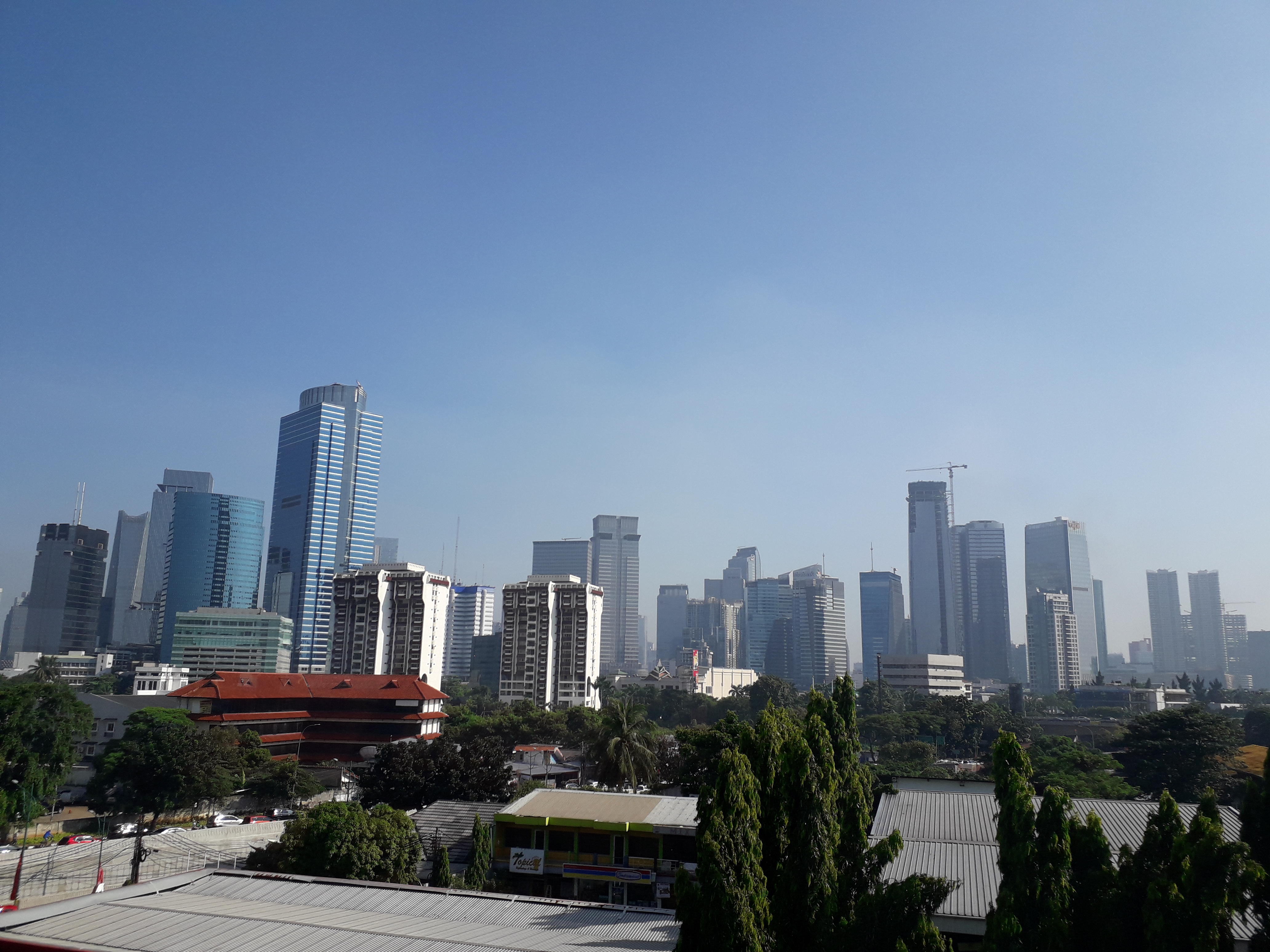
English: Jakarta Skyline for Kuningan area from Transjakarta Corridor 13 (between Rawa Barat and Tendean Station). |
| Date | |
| Source | Own work |
| Author | Nanami976 |
| Camera location | | View this and other nearby images on: OpenStreetMap |
|---|
Licensing
- You are free:
- to share – to copy, distribute and transmit the work
- to remix – to adapt the work
- Under the following conditions:
- attribution – You must give appropriate credit, provide a link to the license, and indicate if changes were made. You may do so in any reasonable manner, but not in any way that suggests the licensor endorses you or your use.
- share alike – If you remix, transform, or build upon the material, you must distribute your contributions under the same or compatible license as the original.
File history
Click on a date/time to view the file as it appeared at that time.
| Date/Time | Thumbnail | Dimensions | User | Comment | |
|---|---|---|---|---|---|
| current | 05:35, 15 April 2018 | | 4,128 × 3,096 (4.66 MB) | Nanami976 | User created page with UploadWizard |
File usage
Global file usage
The following other wikis use this file:
- Usage on it.wikipedia.org
- Usage on ja.wikipedia.org
- Usage on pl.wikipedia.org
- Usage on th.wikipedia.org
- Usage on uz.wikipedia.org