
File:Europe-Republic of Kosovo.svg

Size of this PNG preview of this SVG file: 713 × 600 pixels. Other resolutions: 285 × 240 pixels | 571 × 480 pixels | 913 × 768 pixels | 1,218 × 1,024 pixels | 2,435 × 2,048 pixels | 2,045 × 1,720 pixels.
Original file (SVG file, nominally 2,045 × 1,720 pixels, file size: 7.31 MB)
| This is a file from the Wikimedia Commons. Information from its description page there is shown below. Commons is a freely licensed media file repository. You can help. |
Summary
| Description |
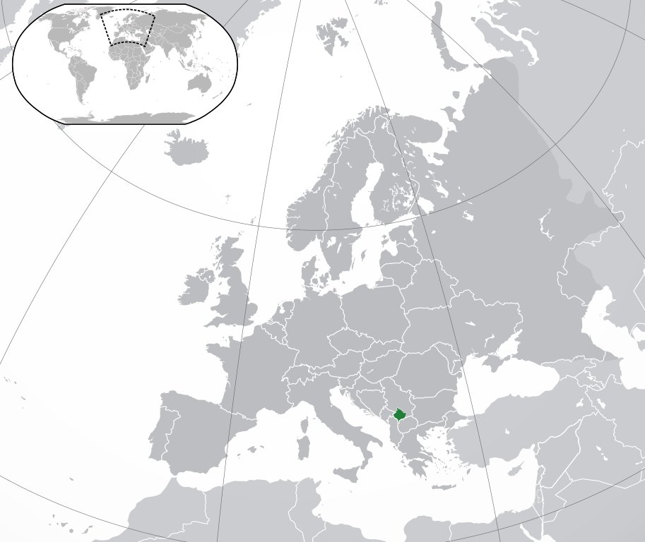
English: Republic of Kosovo, map without Serbian claim,
Is not the same as Europe-Kosovo.svg, there is Serbia marked in another grey (claim) as the other European countries
Українська: Розташування Косова на карті Європи |
||
| Date | |||
| Source | Own work | ||
| Author |
|
||
| Permission (Reusing this file) |
|
||
| SVG development |

Licensing
I, the copyright holder of this work, hereby publish it under the following license:
This file is licensed under the Creative Commons Attribution-Share Alike 3.0 Unported license.
- You are free:
- to share – to copy, distribute and transmit the work
- to remix – to adapt the work
- Under the following conditions:
- attribution – You must give appropriate credit, provide a link to the license, and indicate if changes were made. You may do so in any reasonable manner, but not in any way that suggests the licensor endorses you or your use.
- share alike – If you remix, transform, or build upon the material, you must distribute your contributions under the same or compatible license as the original.
File history
Click on a date/time to view the file as it appeared at that time.
| Date/Time | Thumbnail | Dimensions | User | Comment | |
|---|---|---|---|---|---|
| current | 13:15, 17 December 2023 | | 2,045 × 1,720 (7.31 MB) | Iktsokh | Cyprus geographically in Asia |
| 19:04, 26 October 2016 |  | 2,045 × 1,720 (7.31 MB) | Giorgi Balakhadze | Rv of sockpuppet and per COM:OVERWRITE | |
| 01:08, 16 November 2014 |  | 2,045 × 1,720 (7.39 MB) | Leftcry | Reverted to version as of 11:16, 9 September 2014 a map that shows the shadow already exists, you also messed up the visual | |
| 15:33, 25 October 2014 |  | 1,336 × 1,170 (227 KB) | VS6507 | disputed territory indication shadow | |
| 15:25, 25 October 2014 |  | 2,570 × 2,250 (2 KB) | VS6507 | disputed territory shadow | |
| 11:16, 9 September 2014 |  | 2,045 × 1,720 (7.39 MB) | Rob984 | General improvements | |
| 23:20, 2 July 2013 |  | 2,045 × 1,720 (2.7 MB) | Klodde | User created page with UploadWizard |
File usage
The following pages on the English Wikipedia use this file (pages on other projects are not listed):
Global file usage
The following other wikis use this file:
- Usage on af.wikipedia.org
- Usage on als.wikipedia.org
- Usage on ami.wikipedia.org
- Usage on am.wikipedia.org
- Usage on an.wikipedia.org
- Usage on ar.wikipedia.org
- Usage on arz.wikipedia.org
- Usage on ast.wikipedia.org
- Usage on avk.wikipedia.org
- Usage on ay.wikipedia.org
- Usage on azb.wikipedia.org
- Usage on az.wikipedia.org
- Usage on az.wiktionary.org
- Usage on ban.wikipedia.org
- Usage on ba.wikipedia.org
- Usage on be-tarask.wikipedia.org
- Usage on bg.wikipedia.org
- Usage on bh.wikipedia.org
- Usage on bo.wikipedia.org
- Usage on br.wikipedia.org
- Usage on bs.wikipedia.org
- Usage on bxr.wikipedia.org
- Usage on ca.wikipedia.org
- Usage on cdo.wikipedia.org
- Usage on ce.wikipedia.org
- Usage on chr.wikipedia.org
- Usage on ckb.wikipedia.org
- Usage on csb.wikipedia.org
- Usage on cs.wikipedia.org
- Usage on cy.wikipedia.org
- Usage on de.wiktionary.org
- Usage on diq.wikipedia.org
- Usage on el.wikipedia.org
- Usage on en.wikibooks.org
- Usage on en.wikivoyage.org
- Usage on es.wikipedia.org
- Usage on ext.wikipedia.org
View more global usage of this file.