
File:Thailand adm location map.svg

Original file (SVG file, nominally 1,051 × 1,849 pixels, file size: 662 KB)
| This is a file from the Wikimedia Commons. Information from its description page there is shown below. Commons is a freely licensed media file repository. You can help. |
Summary
| Description |
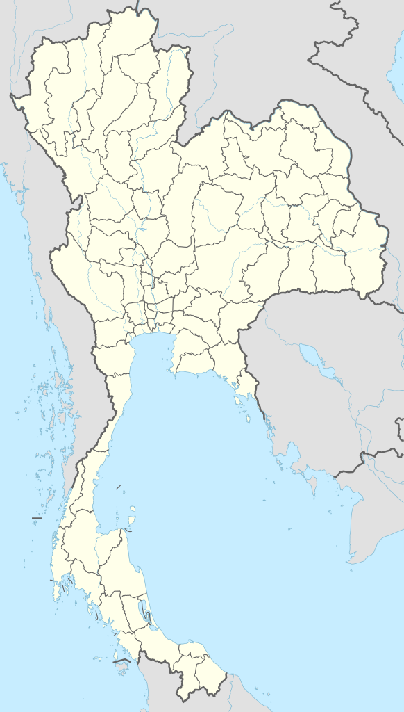
Deutsch: Positionskarte von Thailand
English: Location map of Thailand
|
||||||||||||
| Date | |||||||||||||
| Source |
Own work using:
|
||||||||||||
| Author | NordNordWest | ||||||||||||
| SVG development | This map was created with Adobe Illustrator.
|
||||||||||||

Licensing
Usage of this file with:

explanatory notes: Legally binding is only the full legalcode. For a free usage I recommend to respect the following licence conditions:
1. Provide my name as given above: NordNordWest,
2. a copy of, or the URI for, the applicable license: https://creativecommons.org/licenses/by-sa/3.0/de/legalcode,
3. the title of the work,
4. in the case of an adaptation, a credit identifying the use of the work in the adaptation.
This license and the rights granted hereunder will terminate automatically upon any breach by you of the terms of this license. Any of the above conditions can be waived if you get permission from the copyright holder. If you have questions or wish differing conditions, please contact me through nnwest or my discussion page ![]() t-online.de
t-online.de
- You are free:
- to share – to copy, distribute and transmit the work
- to remix – to adapt the work
- Under the following conditions:
- attribution – You must give appropriate credit, provide a link to the license, and indicate if changes were made. You may do so in any reasonable manner, but not in any way that suggests the licensor endorses you or your use.
- share alike – If you remix, transform, or build upon the material, you must distribute your contributions under the same or compatible license as the original.

File history
Click on a date/time to view the file as it appeared at that time.
| Date/Time | Thumbnail | Dimensions | User | Comment | |
|---|---|---|---|---|---|
| current | 18:37, 1 December 2014 | | 1,051 × 1,849 (662 KB) | NordNordWest | == {{int:filedesc}} == {{Information |Description= {{de|1=Positionskarte von Thailand}} {{en|1=Location map of Thailand}} {{Location map series N |stretching=103 |top=20.6 |bottom=5.4 |left=97.1 |right=106.0 }} |Source={{Own using}} * United States Nat... |
File usage
More than 100 pages use this file. The following list shows the first 100 pages that use this file only. A full list is available.
- 1972 AFC Asian Cup
- 2007 AFC Asian Cup
- 2007 SEA Games
- Ambassador City Jomtien
- Ang Thong
- Ao Nang
- Aranyaprathet
- Bang Kapi district
- Buriram
- Chachoengsao
- Chai Nat
- Chaiya district
- Chaiyaphum
- Chanthaburi
- Chiang Mai
- Chiang Mai International Airport
- Chiang Rai
- Chiang Rai International Airport
- Chumphon
- Don Mueang International Airport
- Erawan Shrine
- Hat Rin
- Hat Yai
- Hat Yai International Airport
- Hellfire Pass
- Kalasin
- Kanchanaburi
- Khao Lak
- Khon Kaen
- Ko Lanta Yai
- Ko Pha-ngan
- Ko Phi Phi Don
- Ko Samui
- Ko Tao
- Korat Royal Thai Air Force Base
- Lampang
- Lamphun
- List of Royal Thai Air Force bases
- List of municipalities in Thailand
- Loei
- Lopburi
- Mae Hong Son
- Mae Sai district
- Maha Sarakham
- Mueang Samut Prakan district
- Mueang Sing Historical Park
- Mukdahan
- Nakhon Nayok
- Nakhon Pathom
- Nakhon Phanom
- Nam Tok Sai Yok Noi
- Nan, Thailand
- Narathiwat
- Nong Bua Lamphu
- Pa Hin Ngam National Park
- Pai, Thailand
- Pathum Thani
- Patong
- Pattani, Thailand
- Pattaya
- Phang Nga
- Phanom Rung Historical Park
- Phatthalung
- Phetchabun
- Phi Phi Islands
- Phimai Historical Park
- Phra Nakhon Khiri Historical Park
- Phra Pradaeng district
- Phrae
- Prachinburi
- Prachuap Khiri Khan
- Ranong
- Ratchaburi
- Rayong
- Roi Et
- Royal Thai Air Base Nam Phong
- Royal Thai Air Force
- Sa Kaeo
- Sakon Nakhon
- Samui Airport
- Samut Sakhon
- Samut Songkhram
- Satun
- Sisaket
- Songkhla
- Surat Thani
- Surat Thani International Airport
- Suvarnabhumi Airport
- Tak, Thailand
- Thalang district
- Thung Yai Naresuan Wildlife Sanctuary
- Trang, Thailand
- Trat
- U-Tapao International Airport
- Ubon Ratchathani
- Udon Thani
- Uttaradit
- Vimanmek Mansion
- Wat Phra That Doi Suthep
- Yala, Thailand
View more links to this file.
Global file usage
The following other wikis use this file:
- Usage on af.wikipedia.org
- Usage on ast.wikipedia.org
- Bangkok
- Golfu de Tailandia
- Bang Na Expressway
- Ismu de Kra
- Ríu Chao Phraya
- Surat Thani
- Rayong
- Gran Palaciu de Bangkok
- Palaciu Chitralada
- Módulu:Mapa de llocalización/datos/Tailandia
- Módulu:Mapa de llocalización/datos/Tailandia/usu
- Royal City Avenue
- Aeropuertu Internacional Suvarnabhumi
- Aeropuertu de Surat Thani
- Puertu de Bangkok
- GMM Grammy
- Usage on azb.wikipedia.org
- Usage on ban.wikipedia.org
- Piala Thomas miwah Uber 2022
- Taman Nasional Hat Chao Mai
- Taman Nasional Khao Kho
- Taman Nasional Phu Soi Dao
- Taman Nasional Huai Nam Dang
- Taman Nasional Khun Chae
- Taman Nasional Mae Wang
- Taman Nasional Namtok Mae Surin
- Taman Nasional Nam Nao
- Taman Nasional Pang Sida
- Taman Nasional Pa Hin Ngam
- Taman Nasional Phu Chong–Na Yoi
- Taman Nasional Phu Toei
- Taman Nasional Salawin
- Taman Nasional Si Satchanalai
- Taman Nasional Doi Phu Nang
- Taman Nasional Doi Luang
- Taman Nasional Doi Khun Tan
- Taman Nasional Doi Pha Hom Pok
- Taman Nasional Kaeng Tana
View more global usage of this file.