
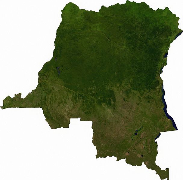
File:Dem congo sat.jpg

Size of this preview: 608 × 600 pixels. Other resolutions: 243 × 240 pixels | 487 × 480 pixels | 779 × 768 pixels | 1,038 × 1,024 pixels | 2,293 × 2,261 pixels.
Original file (2,293 × 2,261 pixels, file size: 3.13 MB, MIME type: image/jpeg)
| This is a file from the Wikimedia Commons. Information from its description page there is shown below. Commons is a freely licensed media file repository. You can help. |
Summary
Raster data download July 12, 2006 from The Map Library: exported to TIFF format, and converted to JPEG via Paint.NET.
Licensing
| This file is in the public domain, because it was generated by a user, using free sources available at The Map Library.
Note that this does not include the maps in the Global Administrative Areas section of the homepage. |
File history
Click on a date/time to view the file as it appeared at that time.
| Date/Time | Thumbnail | Dimensions | User | Comment | |
|---|---|---|---|---|---|
| current | 01:52, 13 July 2006 | | 2,293 × 2,261 (3.13 MB) | Unquietwiki | == Summary == Raster data download July 12, 2006 from The Map Library: exported to TIFF format, and converted to JPEG via Paint.NET. == Licensing == {{PD-MapProject}} |
File usage
The following pages on the English Wikipedia use this file (pages on other projects are not listed):
Global file usage
The following other wikis use this file:
- Usage on af.wikipedia.org
- Usage on ar.wikipedia.org
- Usage on bg.wikipedia.org
- Usage on da.wikipedia.org
- Usage on eo.wikipedia.org
- Usage on es.wikipedia.org
- Usage on fr.wikipedia.org
- Usage on hu.wikipedia.org
- Usage on hy.wikipedia.org
- Usage on ja.wikipedia.org
- Usage on ka.wikipedia.org
- Usage on mt.wikipedia.org
- Usage on pt.wikipedia.org
- Usage on sr.wikipedia.org
- Usage on trv.wikipedia.org
- Usage on tum.wikipedia.org
- Usage on uk.wikipedia.org
- Usage on zh.wikipedia.org